Past Projects
Make a Donation
Get Involved
BONAIRE RESEARCH
AUGUST 2023
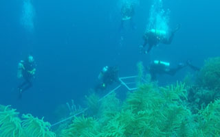
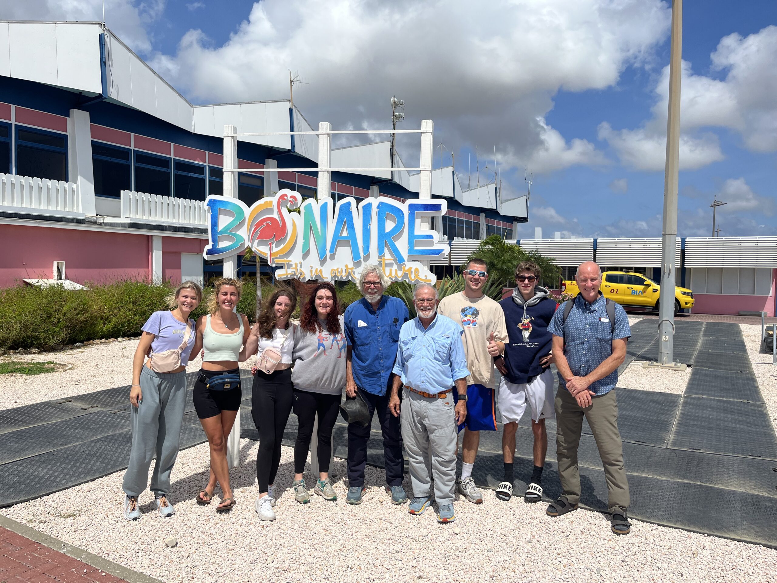
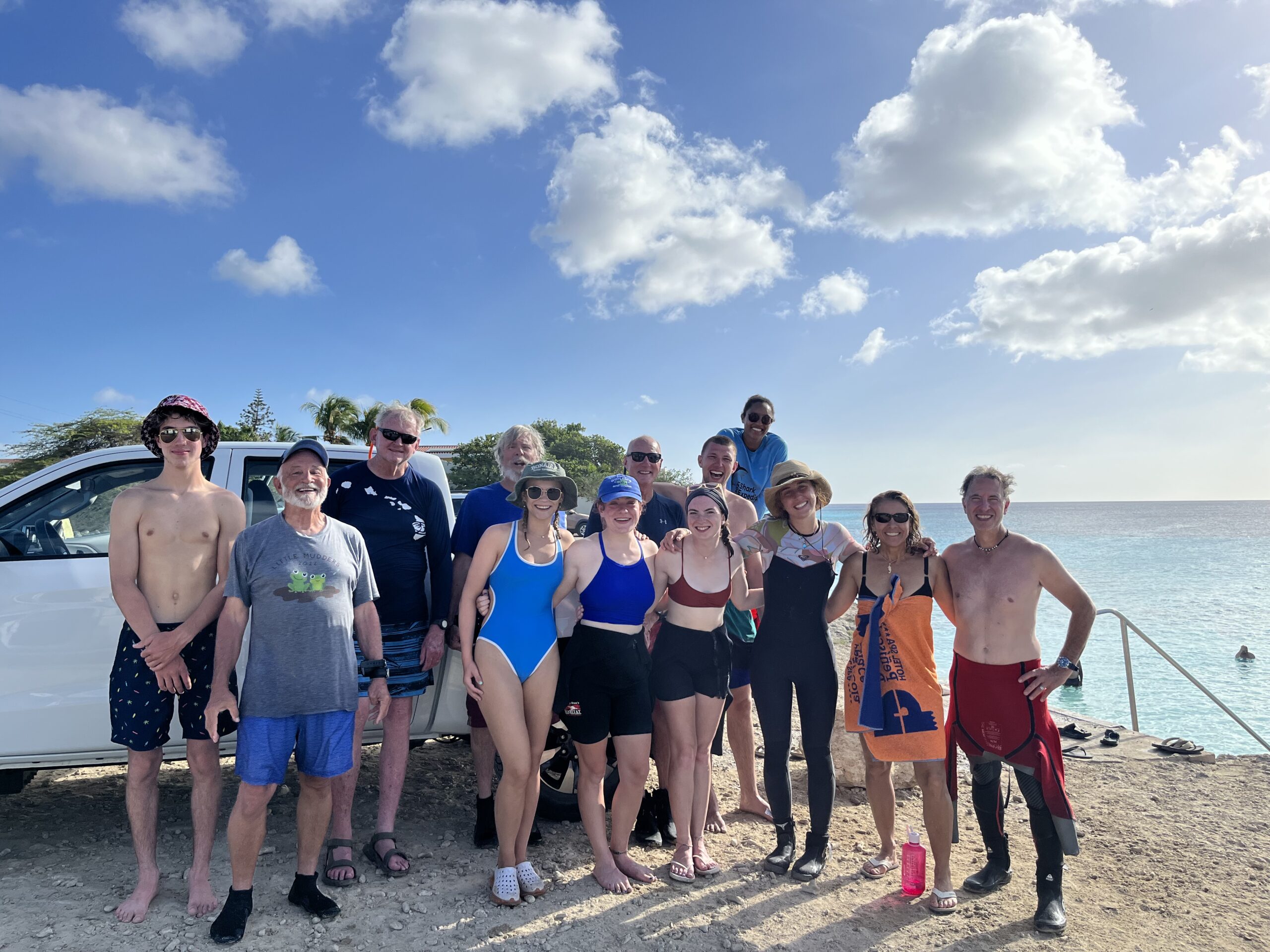
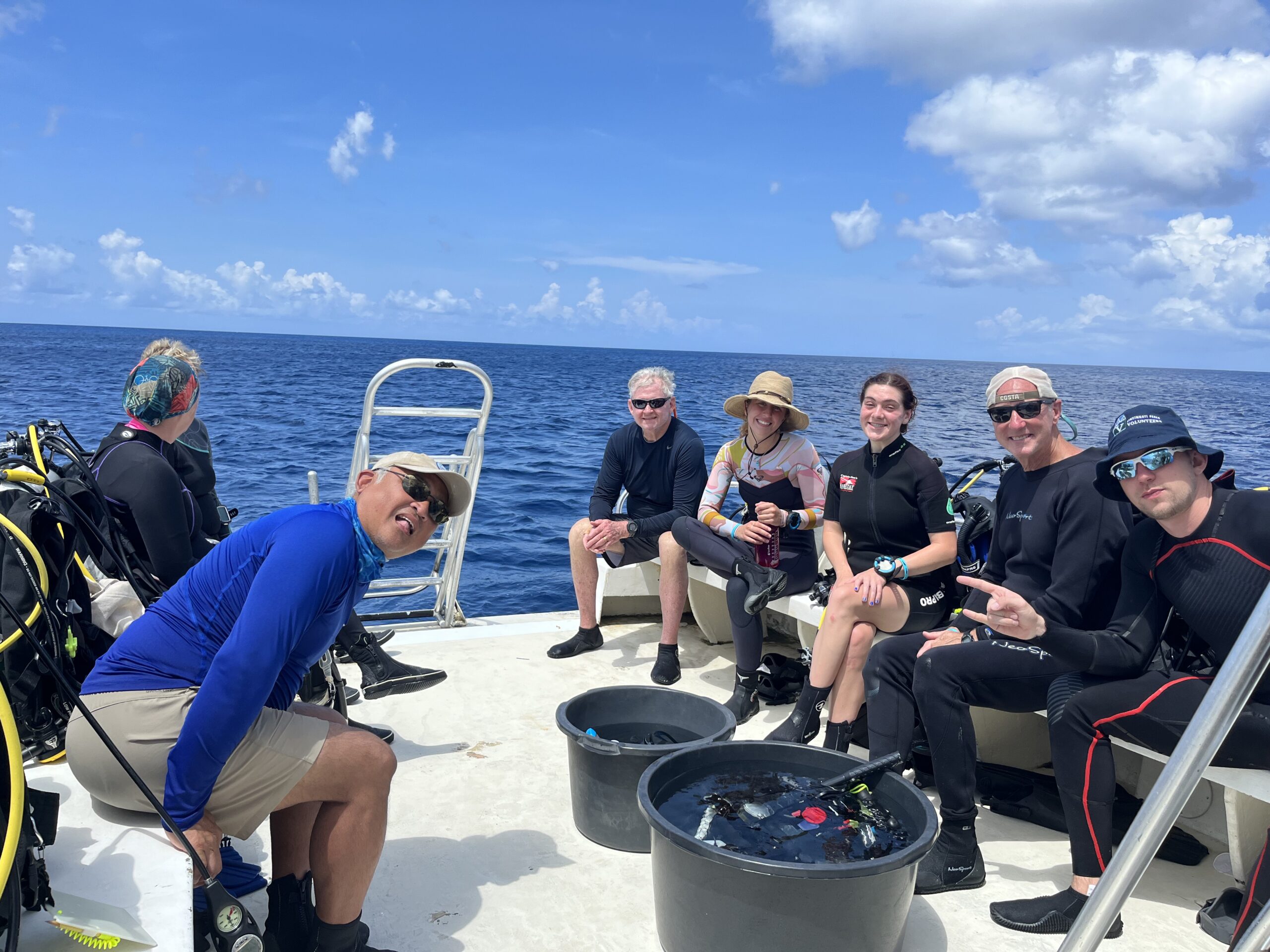
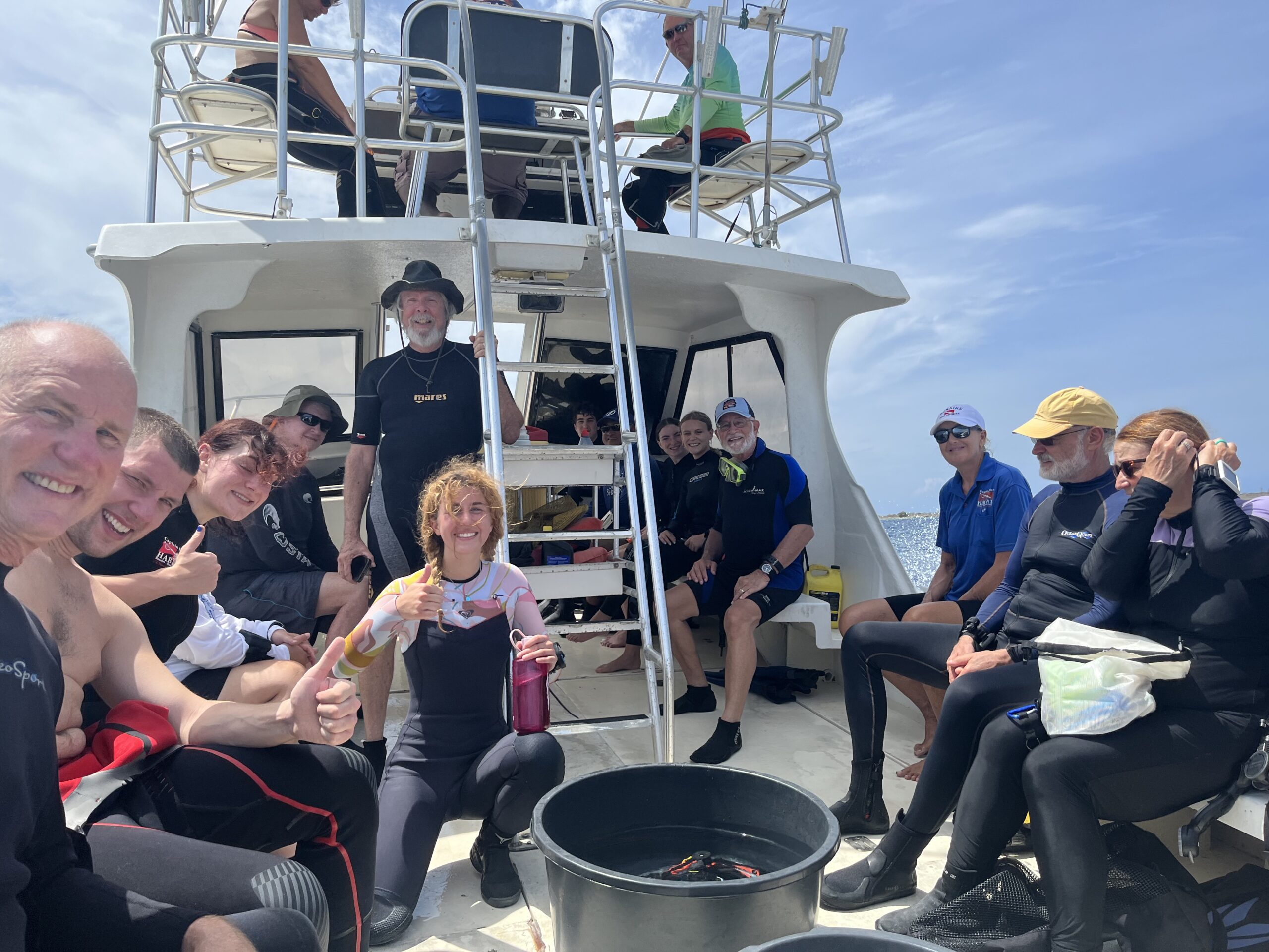
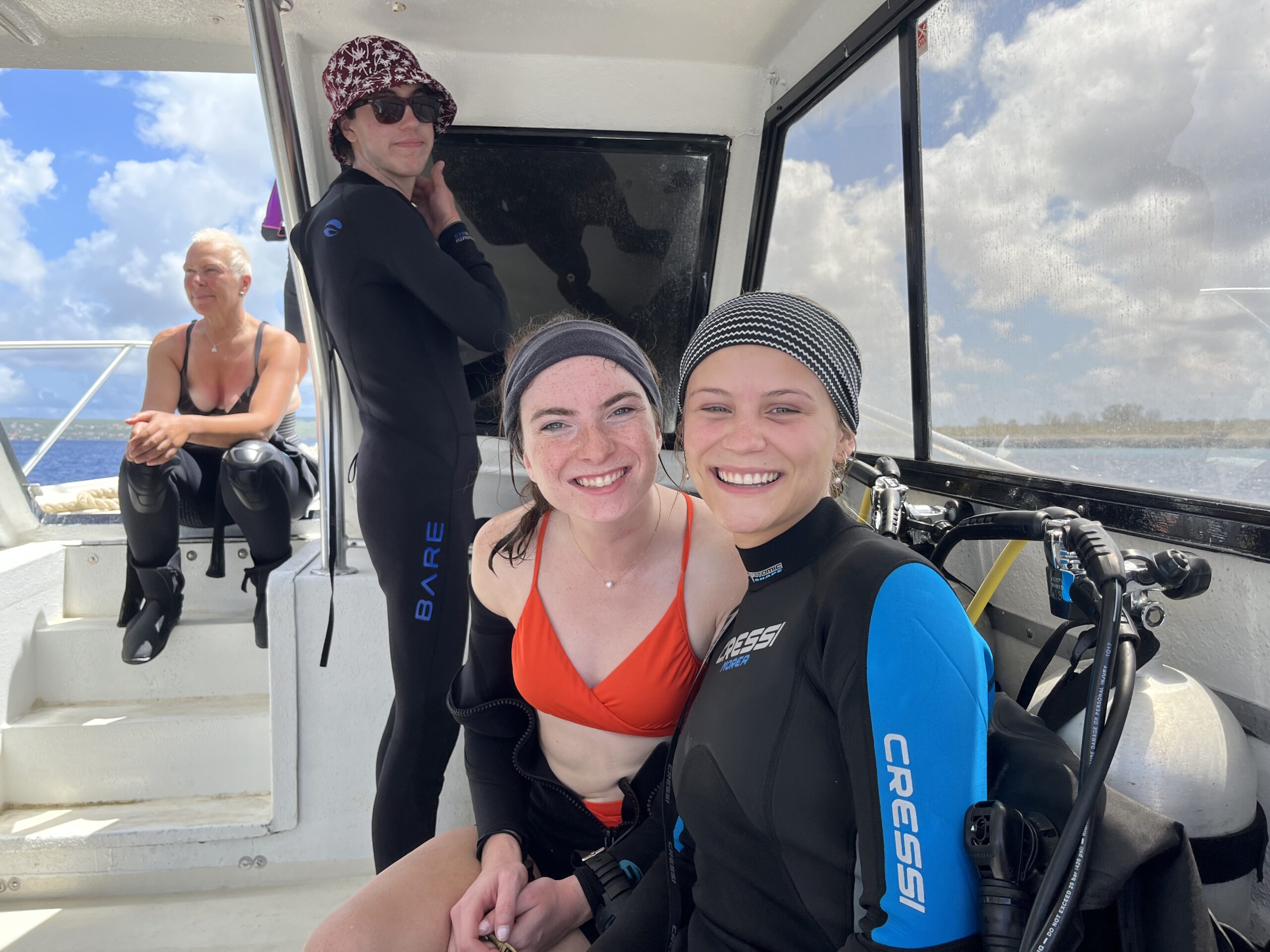
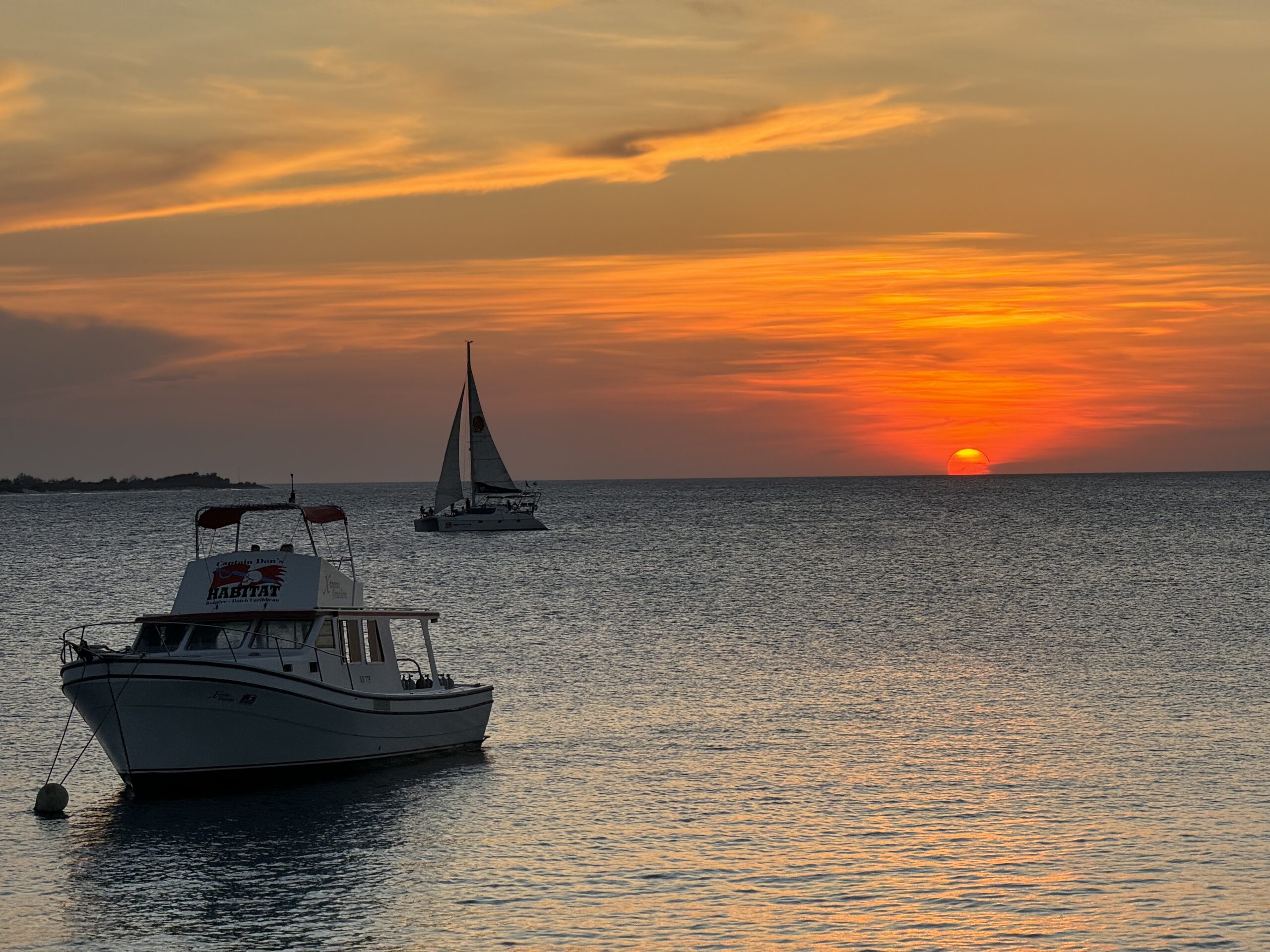
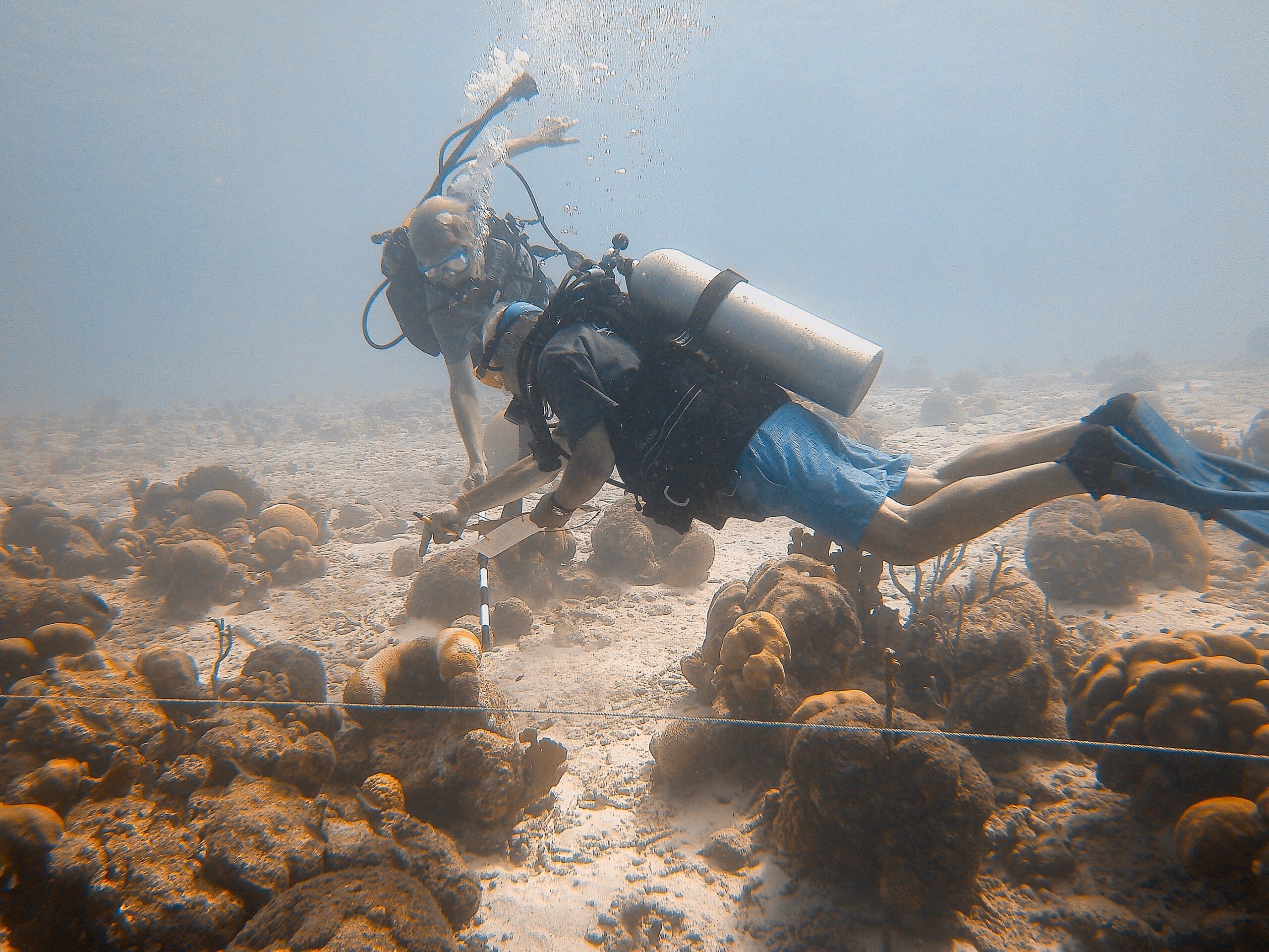
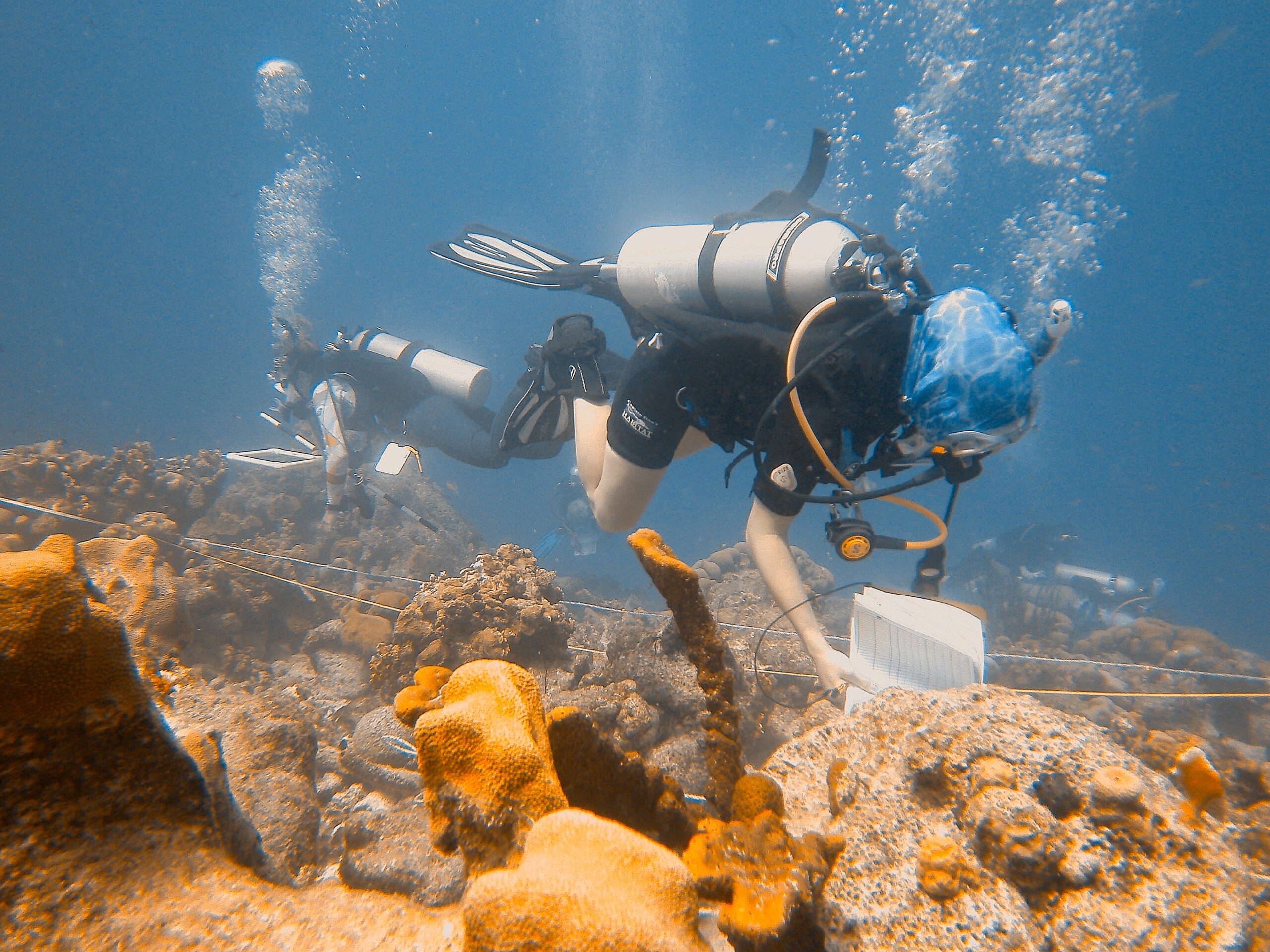
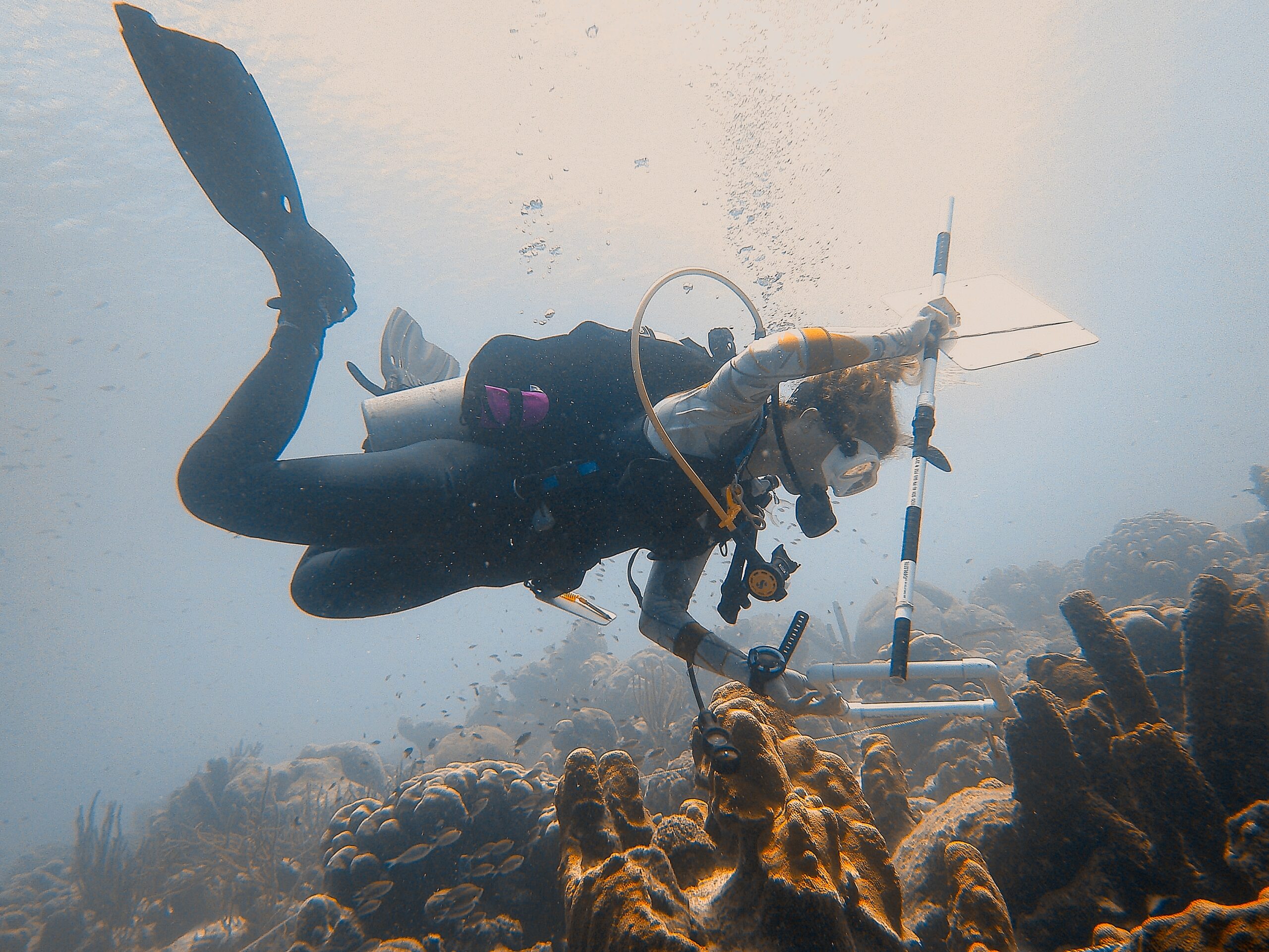
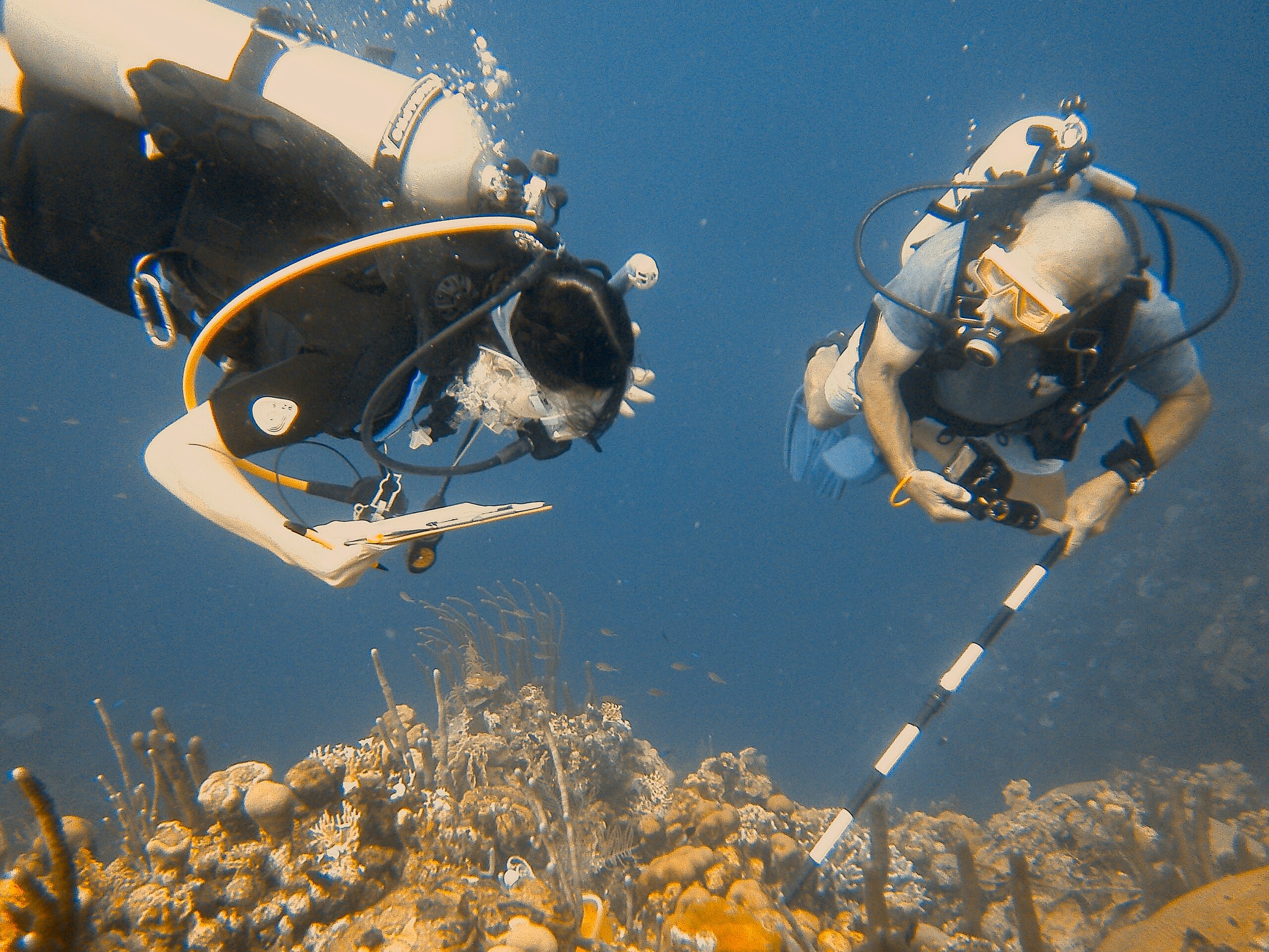
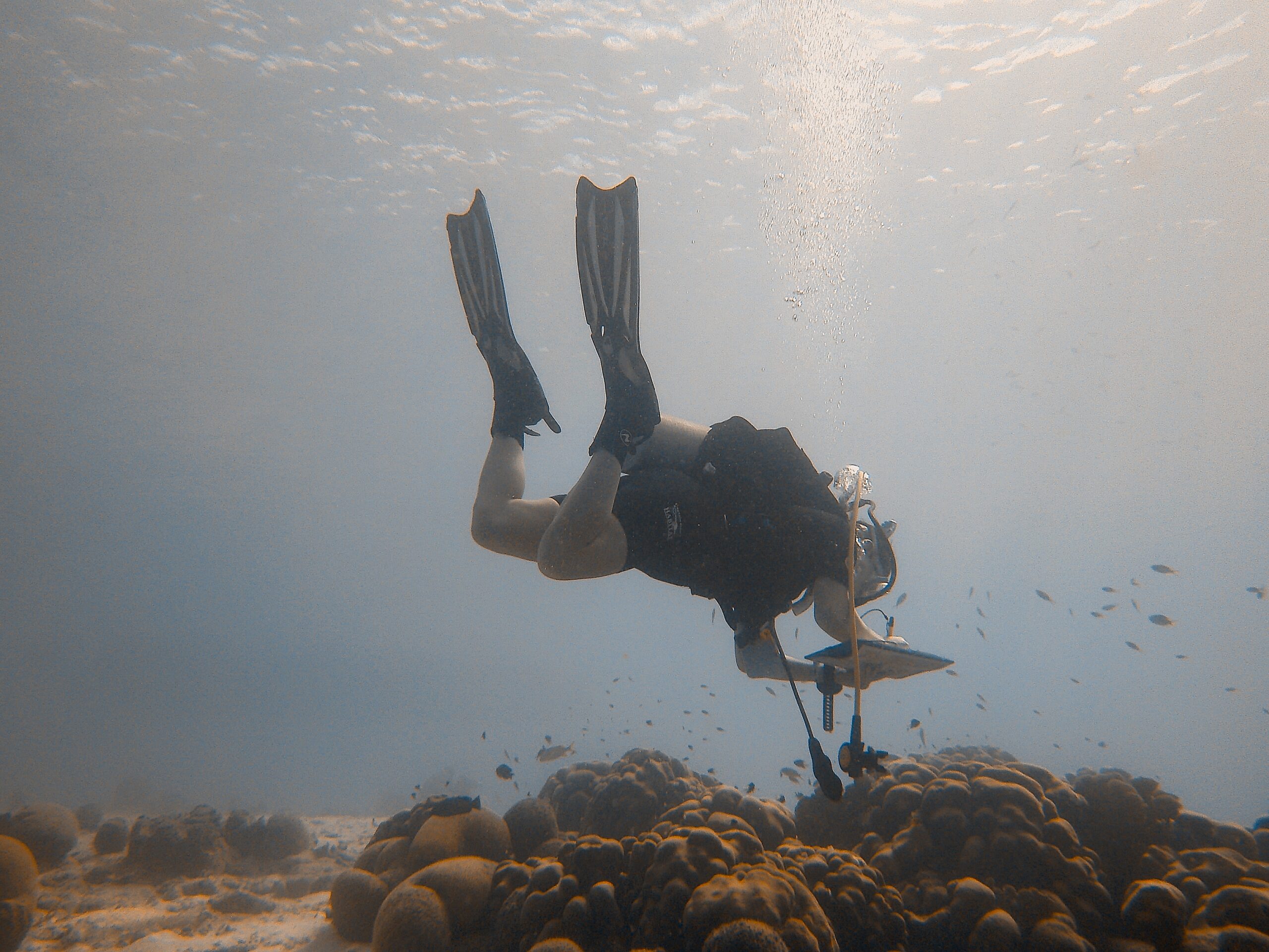
On July 30, Reef Expeditions led a team of 12 citizen scientists trained in AGRRA monitoring techniques to survey the reefs of Bonaire in collaboration with STINAPA, the authority governing the island’s Marine Protected Areas (MPA). In the six months prior to the expedition, the team studied fish, coral and benthic creatures to become versed in their identification, and learned the AGRRA survey protocols. The team consisted of reef experts, volunteers and students, including those from both Miami University and Ohio State University. The team conducted over 70 fish surveys, 40 benthic surveys, six detailed coral coverage surveys and six disease surveys. The data accumulated from these surveys is being entered into the AGRRA database, where it will be used by scientists around the globe to gain a greater understanding of changes occuring on coral reefs over time across the Caribbean. From the data, we will be producing a report that analyzes our findings.
Shark Awareness Day Celebration and Little Miami River CleanUp
July 14, 2023
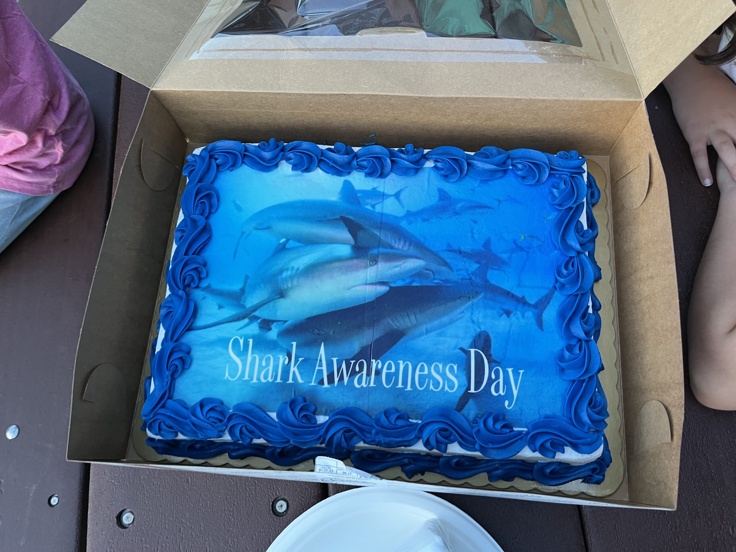
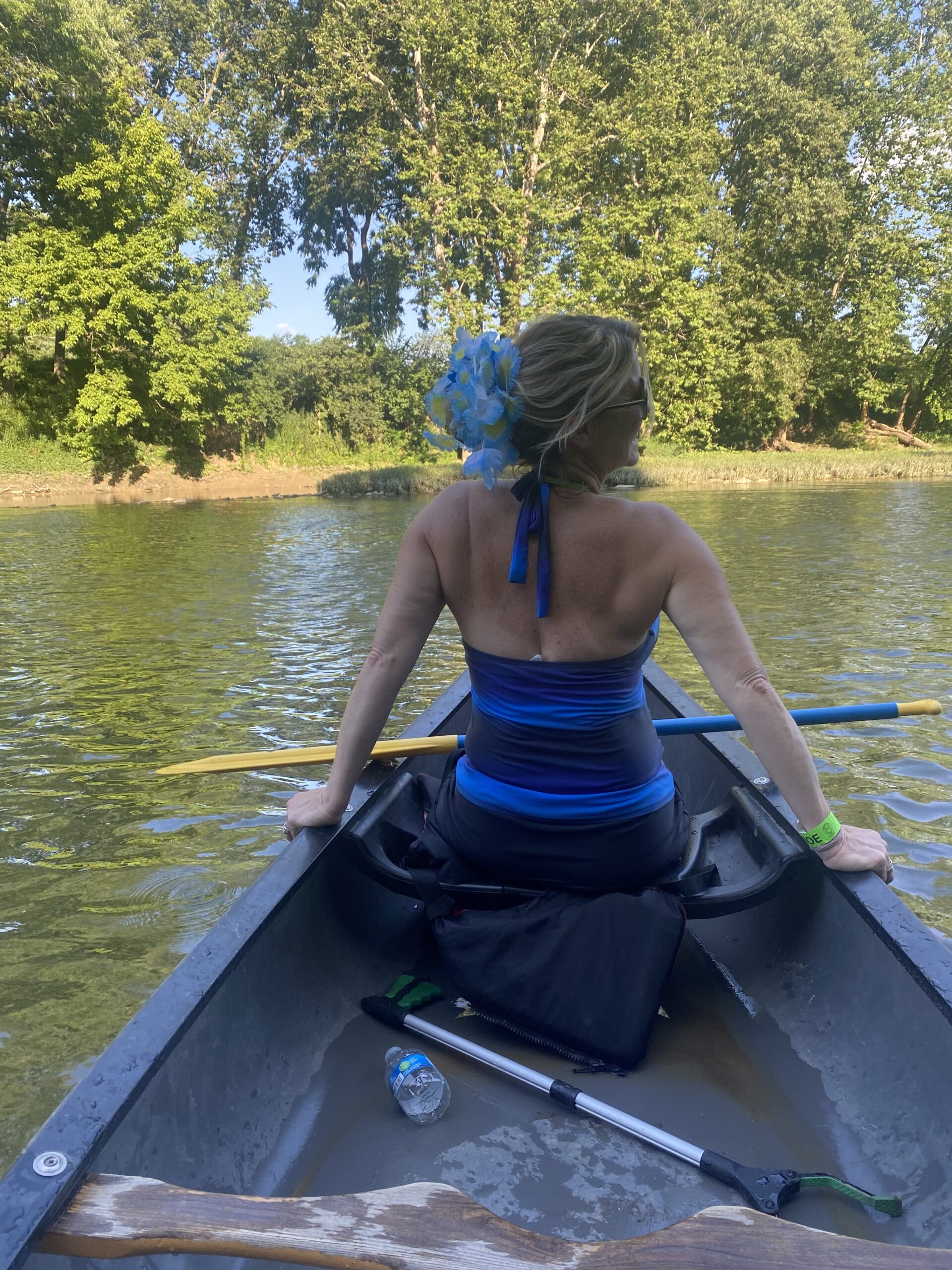
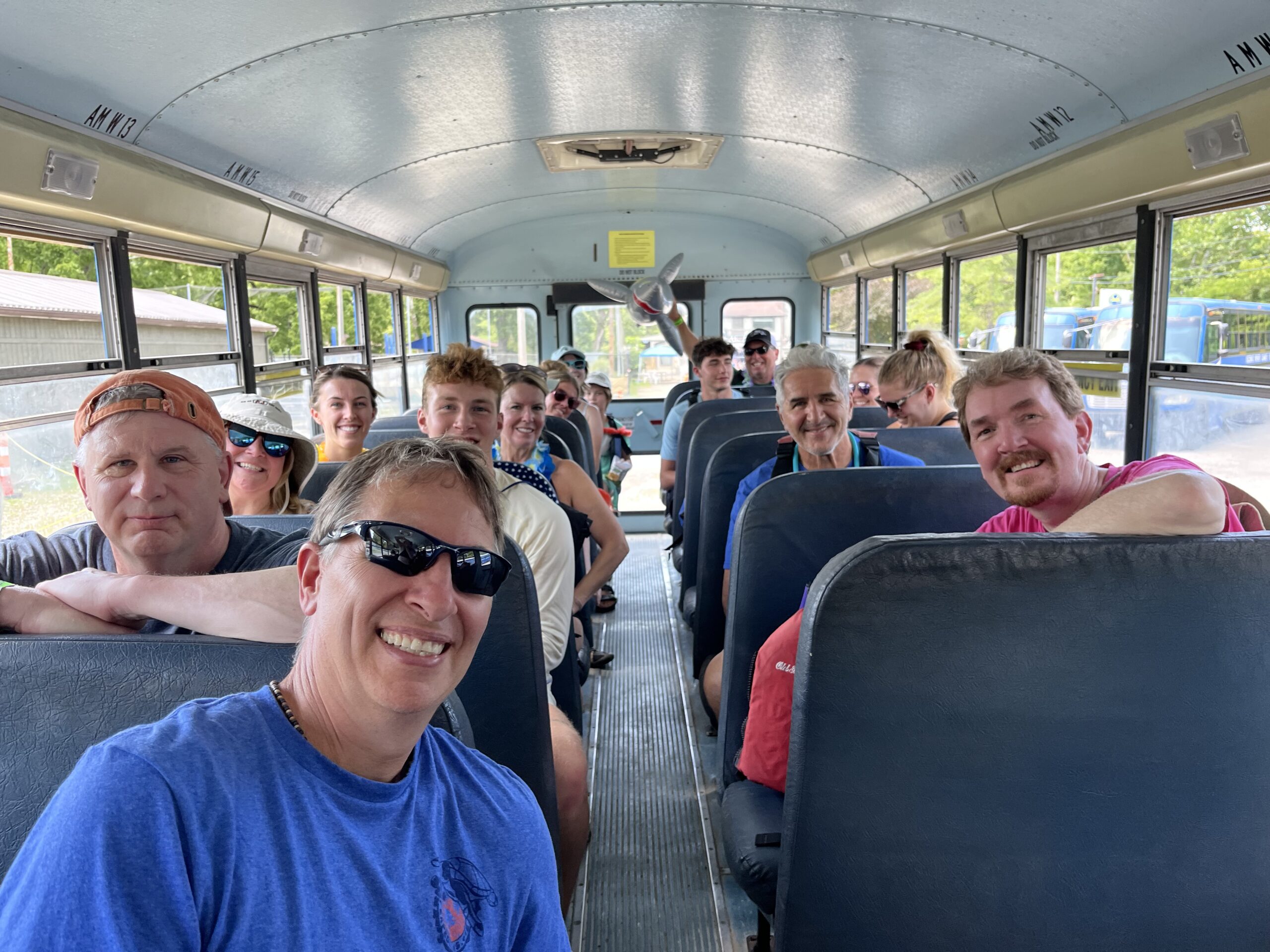
In appreciation of Shark Awareness Day, on Friday, July 14th, we partnered with the Little Miami Brewing Company and Scenic River Canoe Excursions to conduct a sweep of the Little Miami River. Further, LMBC brewed a special Lemon Drop Ale, appropriately named “Hammerhead Ale” to help raise funds for the research expedition to Bonaire. Over 45 people joined Reef Expeditions and removed plastic, clothing, tires and other debris. We would like to thank our friends at the Little Miami Brewing Company for brewing the “Hammerhead Ale”, providing logistics and helping with the River Cleanup. We would also like to thank Scenic River Canoe Excursions for the discount on canoes and kayaks.
citizen’s cleanup of the Ohio River: April 15, 2023
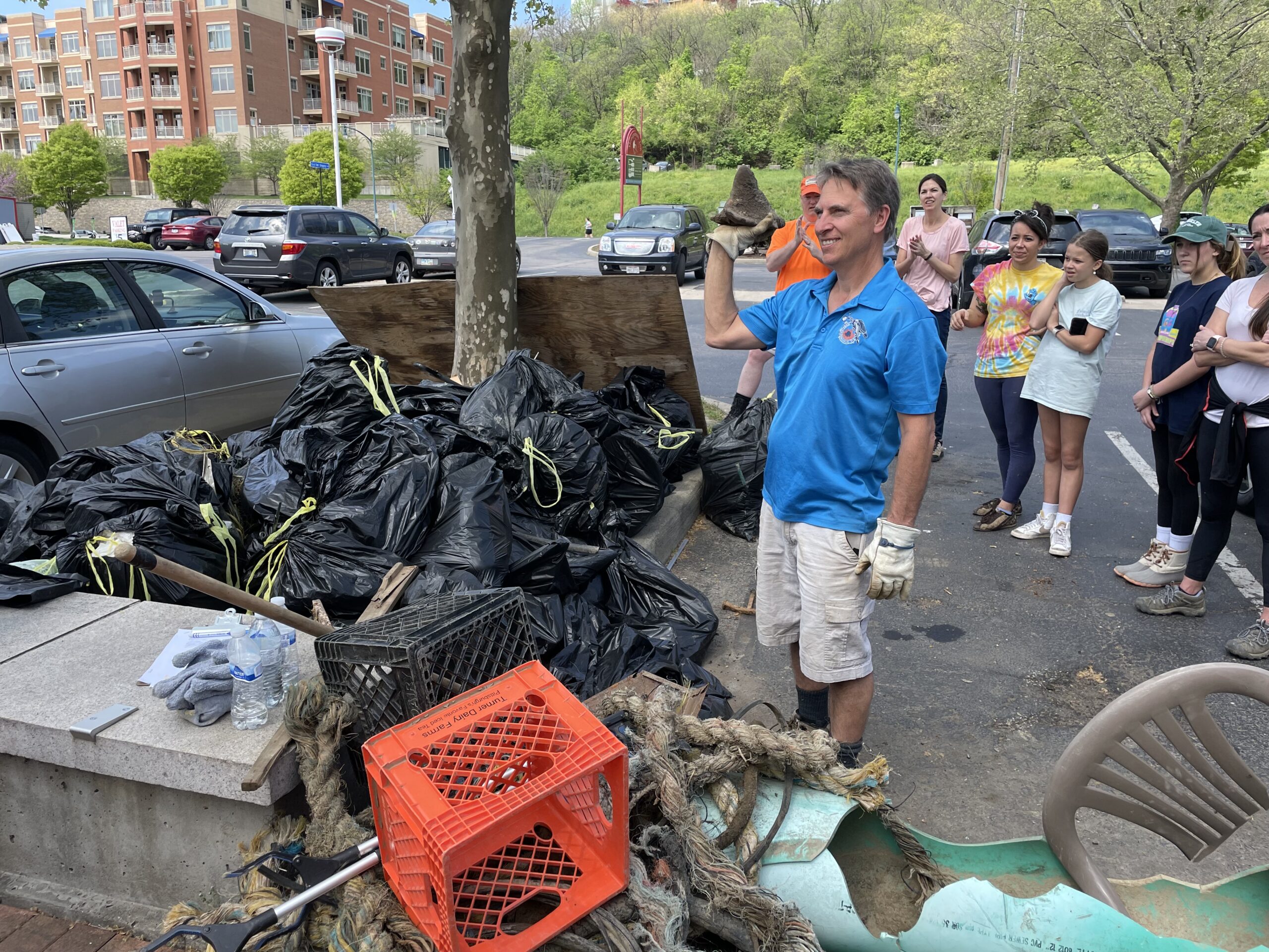
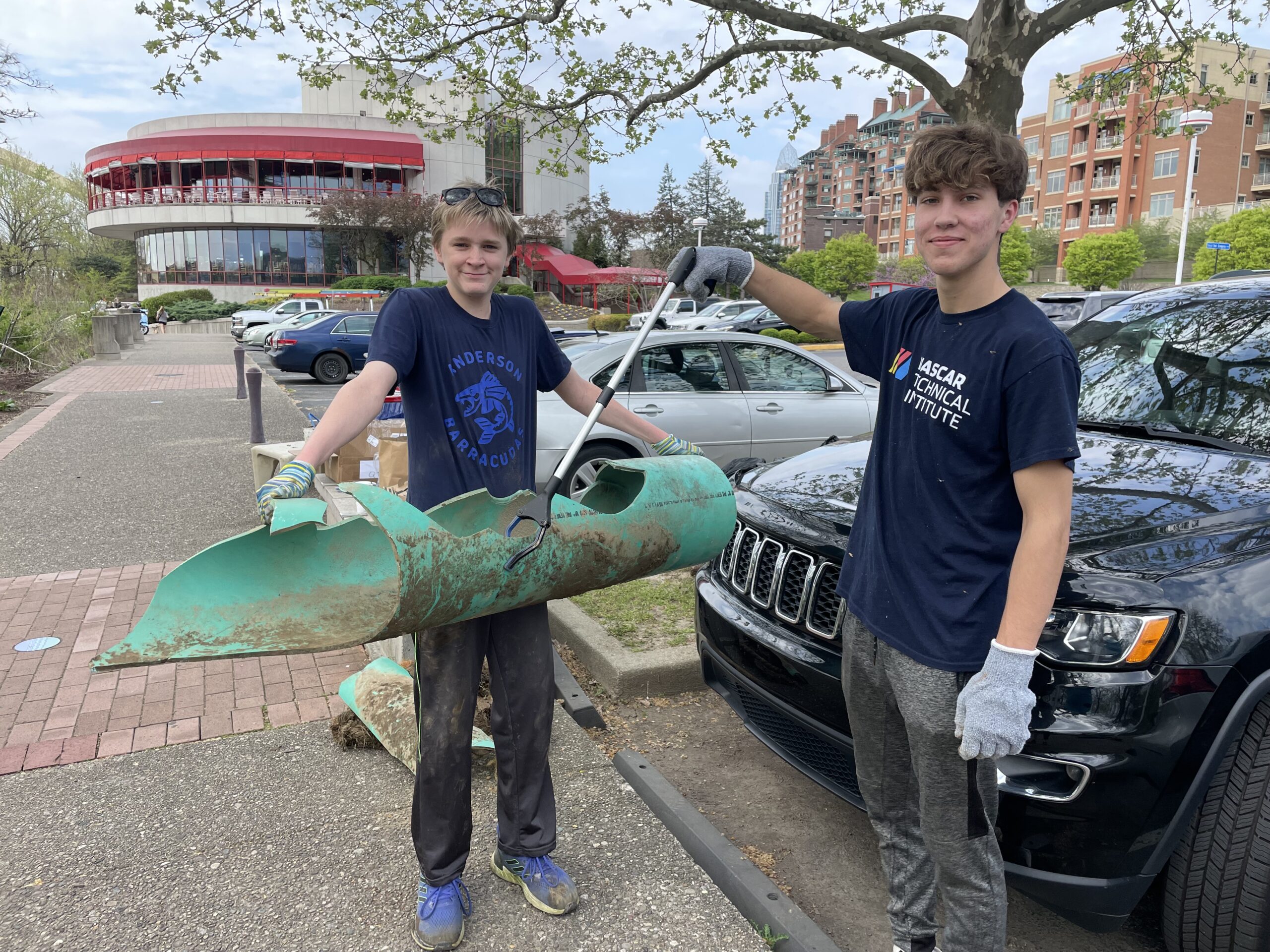
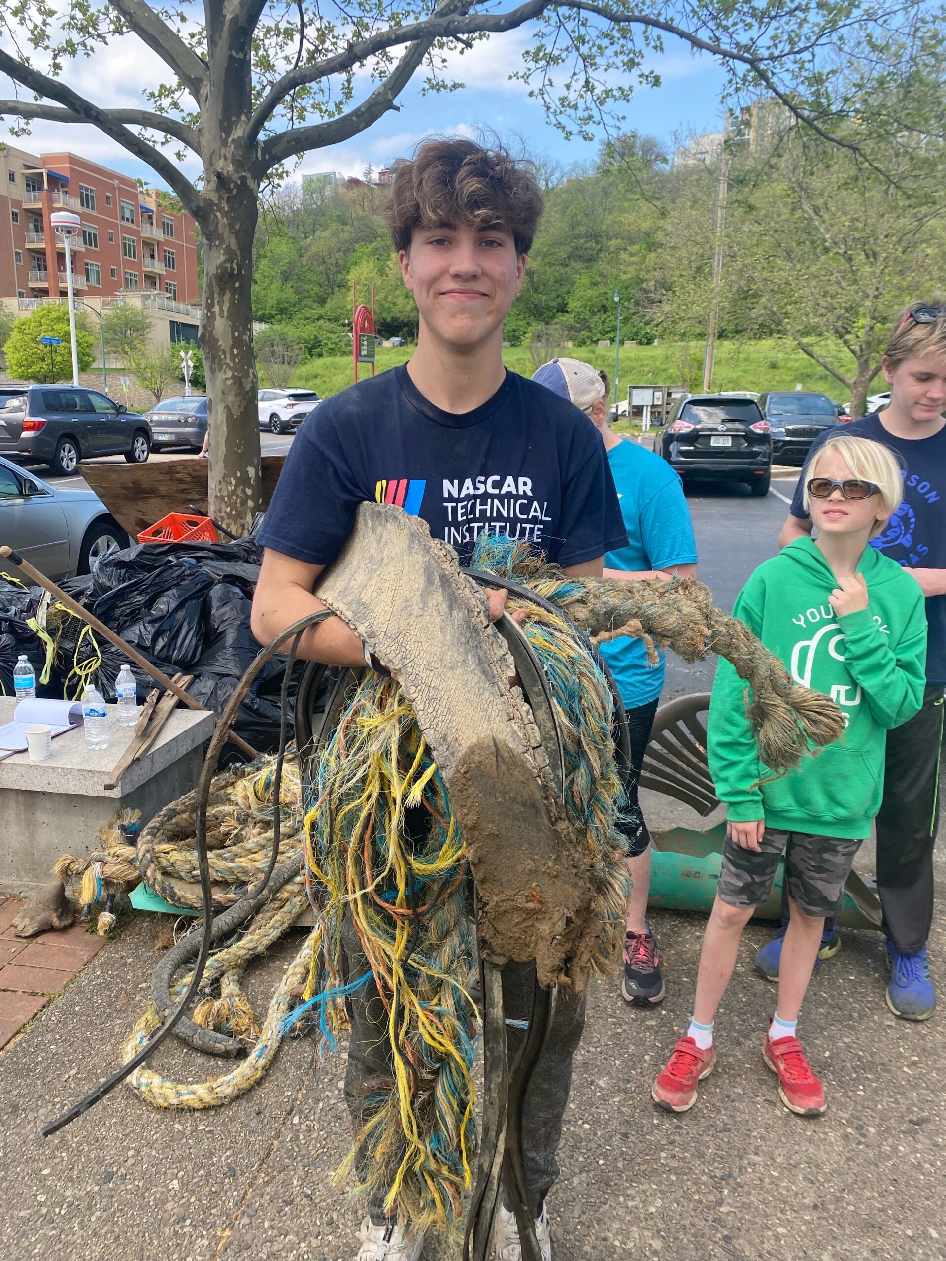
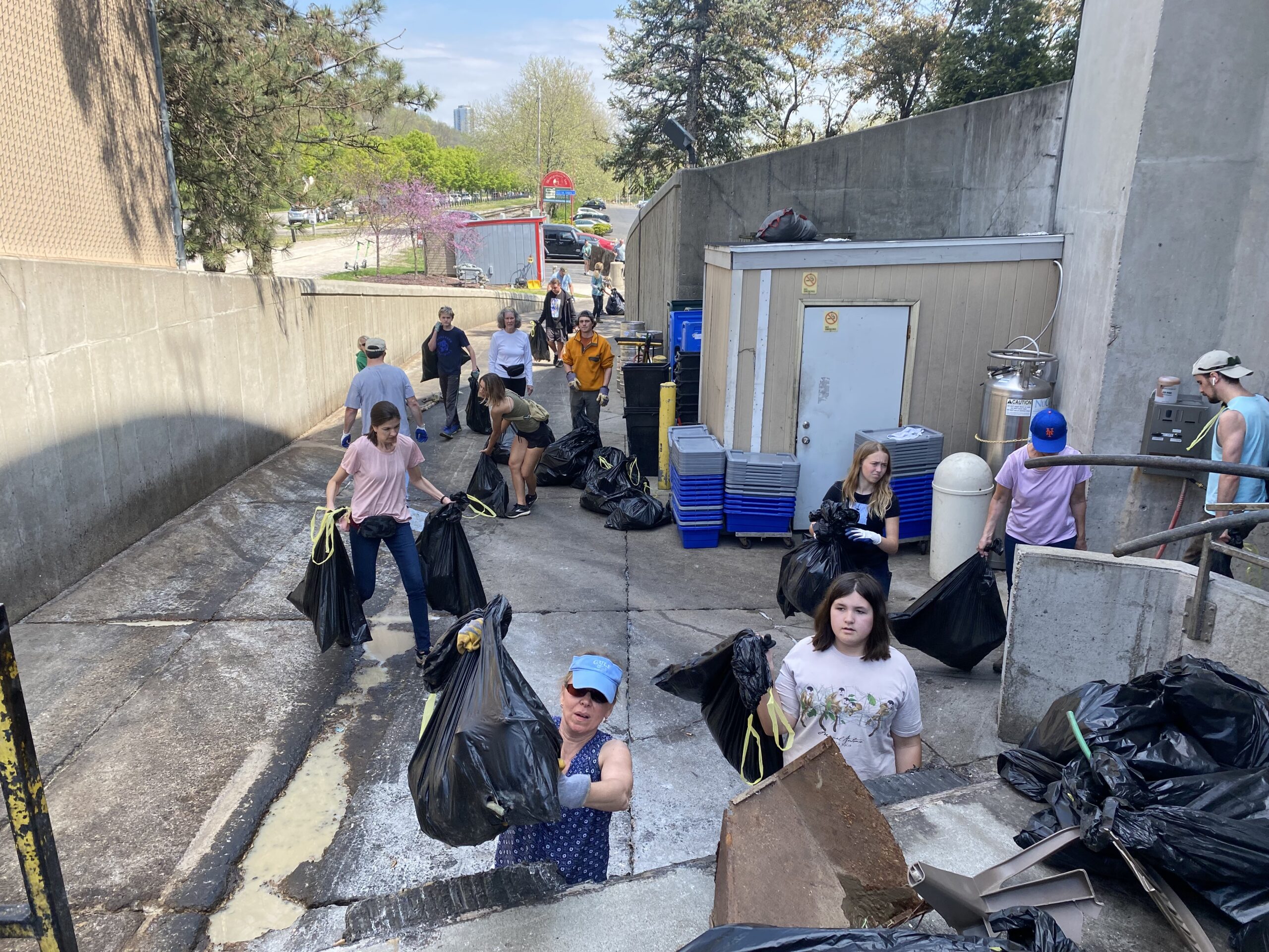
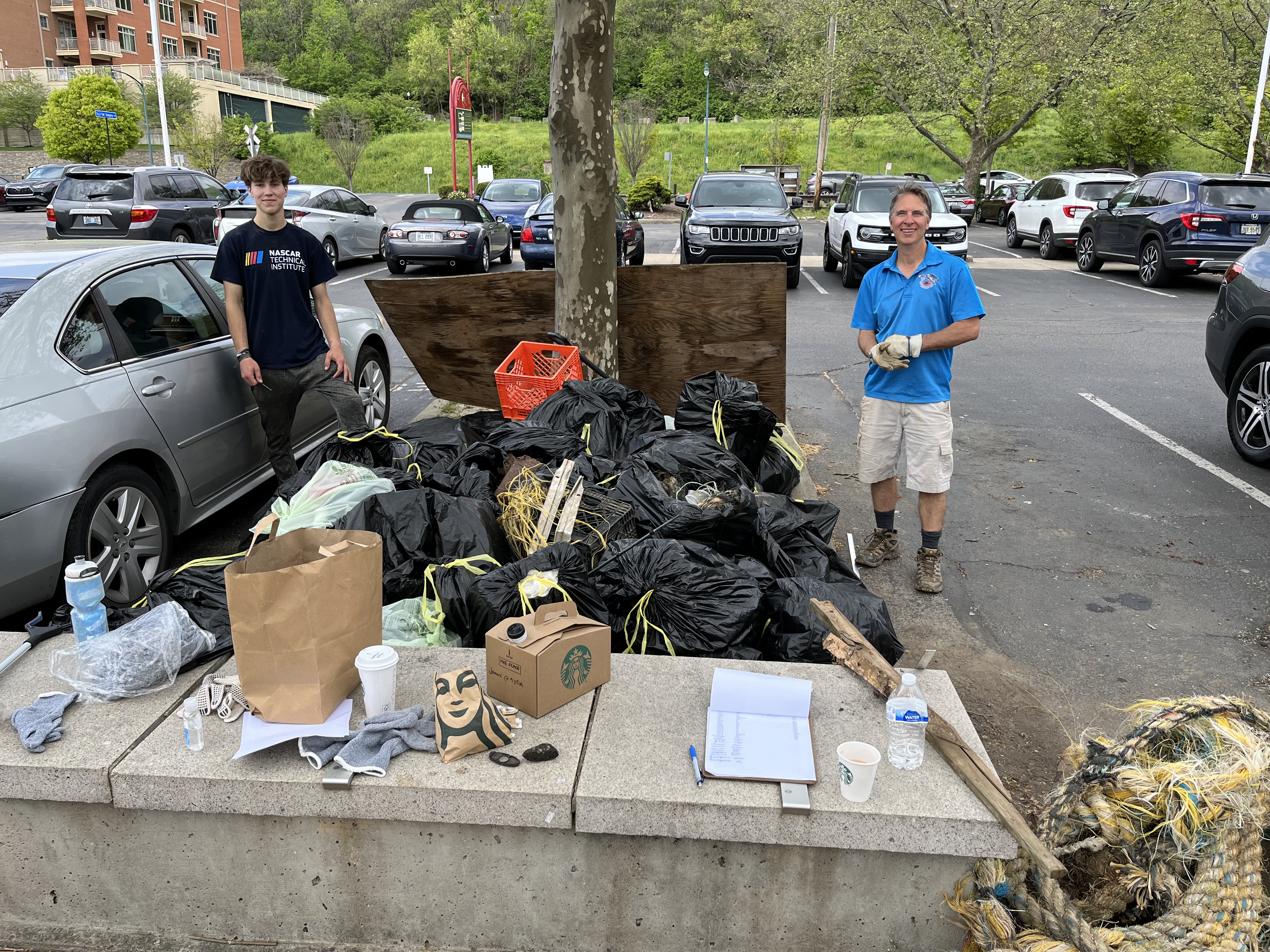
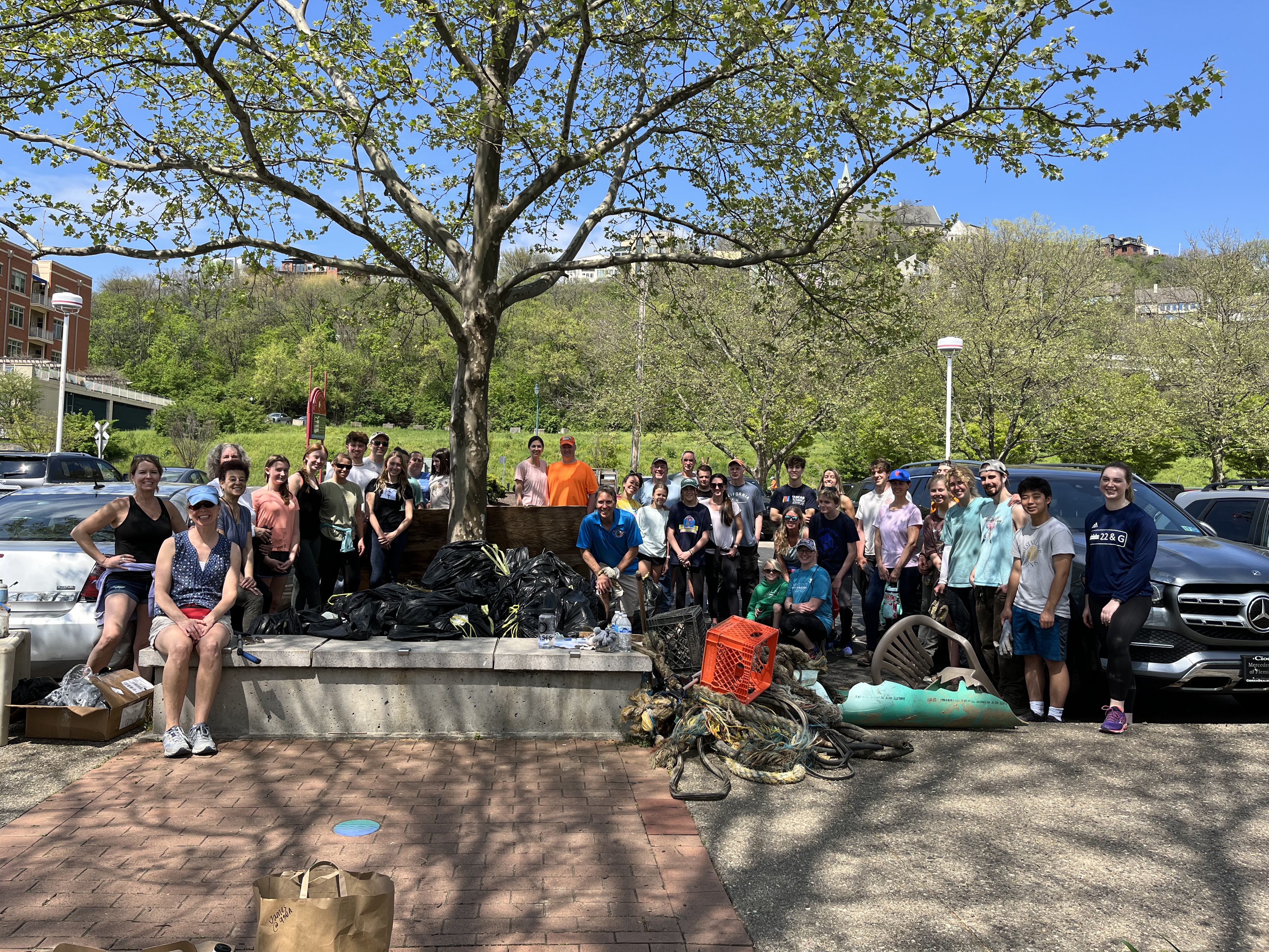
In appreciation of the upcoming Earth Day, on Saturday, April 15th from 10am – 1pm, over 40 citizens from around the Tristate area joined Reef Expeditions to remove debris from the banks of the Ohio River. Over 500 lbs of plastic, tires, pipe and other debris were prevented from makingbits way down our waterways, protecting wildlife and coral reefs down river from the harm these items can pose. We would like to thank our friends at Montgomery Inn Boathouse for providing box lunches and drinks to all particpants.
Turks and Caicos:
August 2022
August
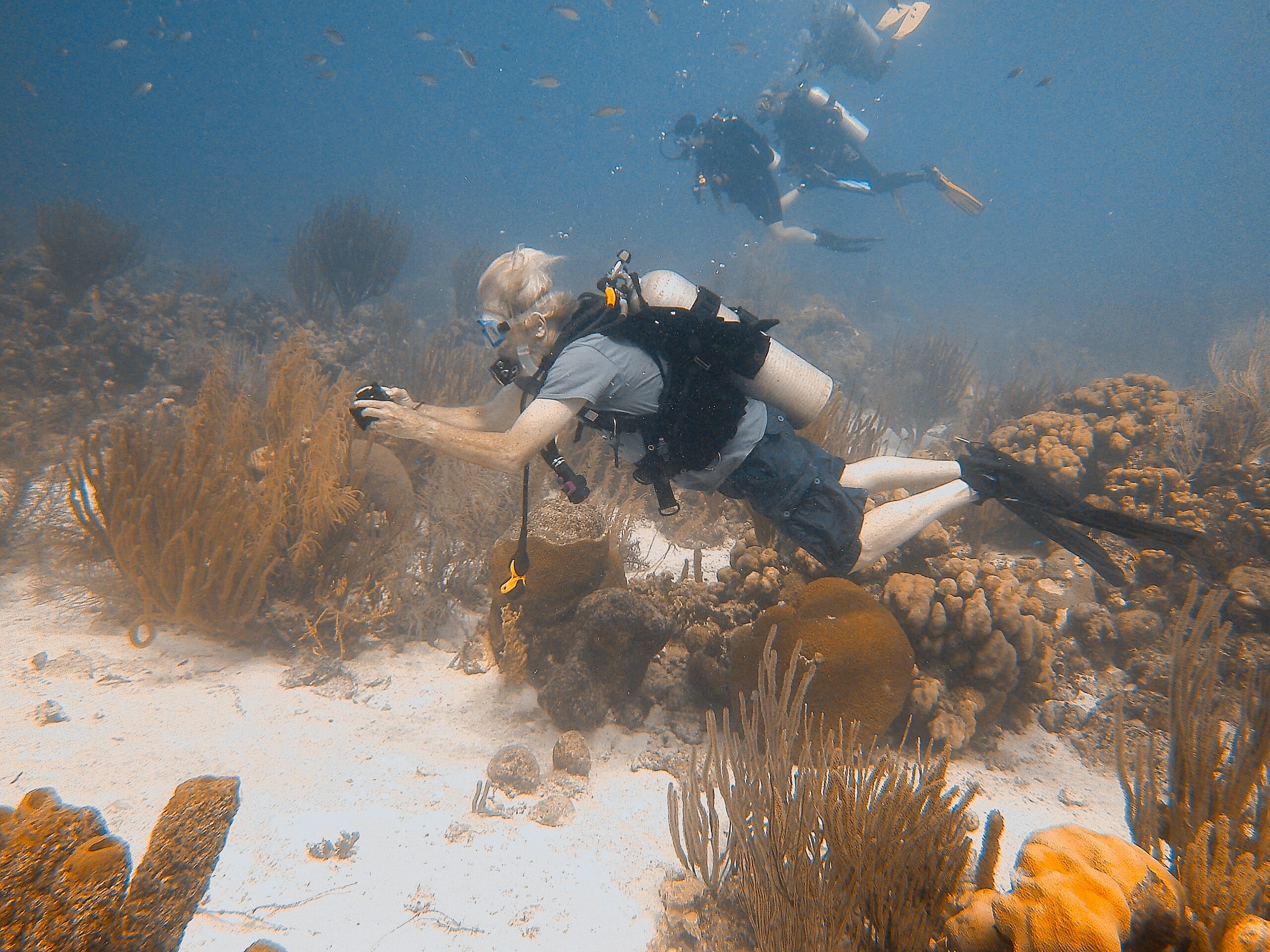
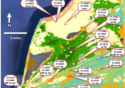
Reef Expeditions in conjunction with The Nature Conservancy, conducted a field validation of the TNC Benthic Mapping Project, an intensive satellite and aerial mapping project being created in collaboration with Arizona State University, Vulcan Inc. and the Allen Coral Atlas. Reef Expeditions started the first of its expeditions in August of 2022 in the Islands of Turks and Caicos. There we verified the results of the data collected by the Nature Conservancy from their satellite and aerial surveys. To verify the substrate, whether it be coral reefs, sandy areas, seagrass beds or other, our divers conducted a comparative analysis against predicted substrate from the aerial surveys, then reported the actual substrate. Using GPS capable cameras, our divers filmed the areas underwater to ensure experts in the field could then validate our results conclusively. The data is currently being analyzed, and the results have been given to the Nature Conservancy to improve the accuracy of their maps. Further investigation of many areas is still needed and assistance is welcome, whether in the form of financial assistance, volunteer assistance in IT and social media, or being a part of our team in the water, helping us to conduct these surveys.
In future expeditions, we will also conduct population density surveys of many species to create a baseline to compare against at a later date to evaluate the health of the reefs over time as our climate changes. Several hope spots are being identified as pristine coral reefs around the Caribbean and South Pacific which need to be mapped, verified and surveyed. If you have interest in this important conservation work, contact us today.
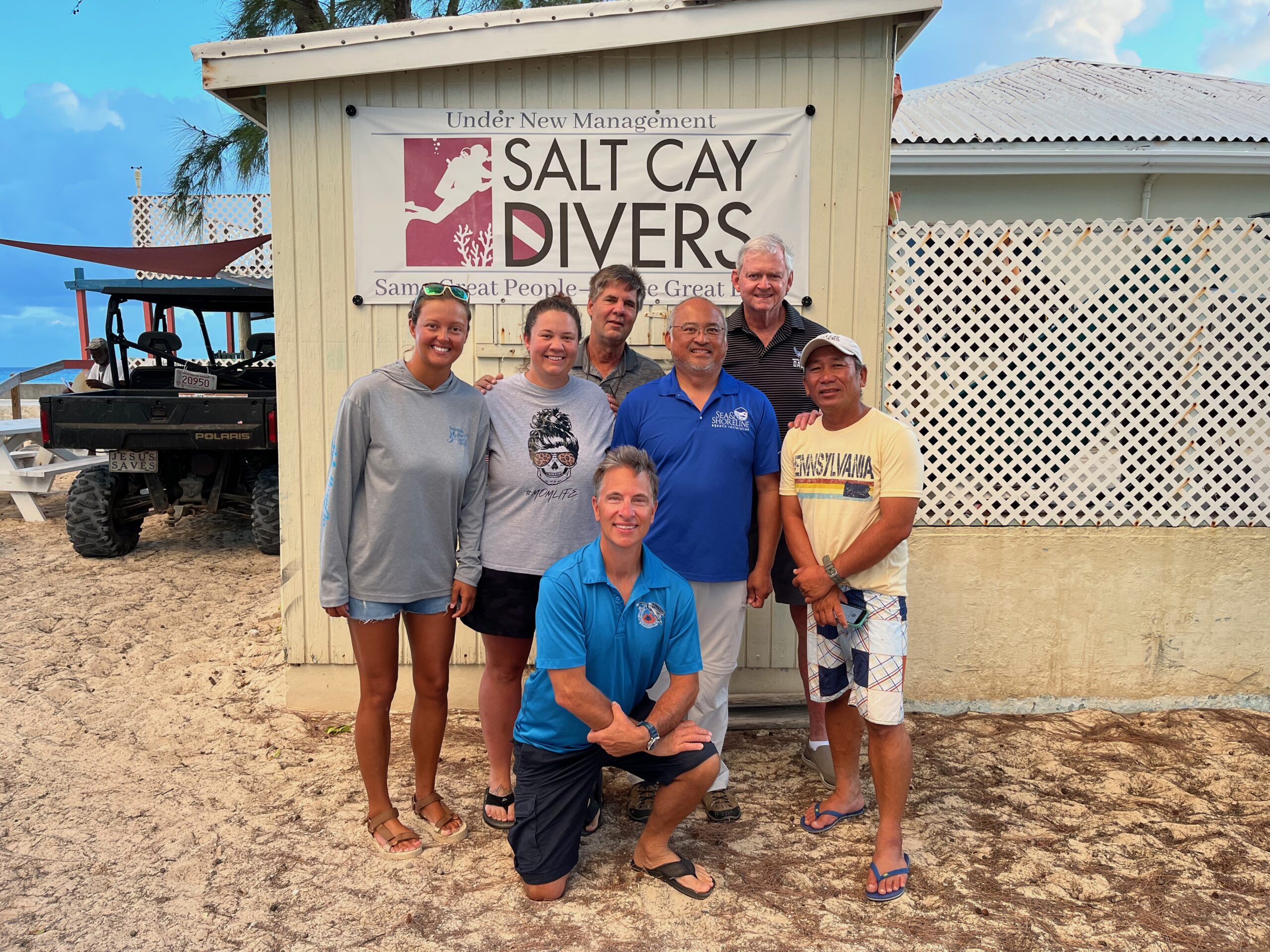
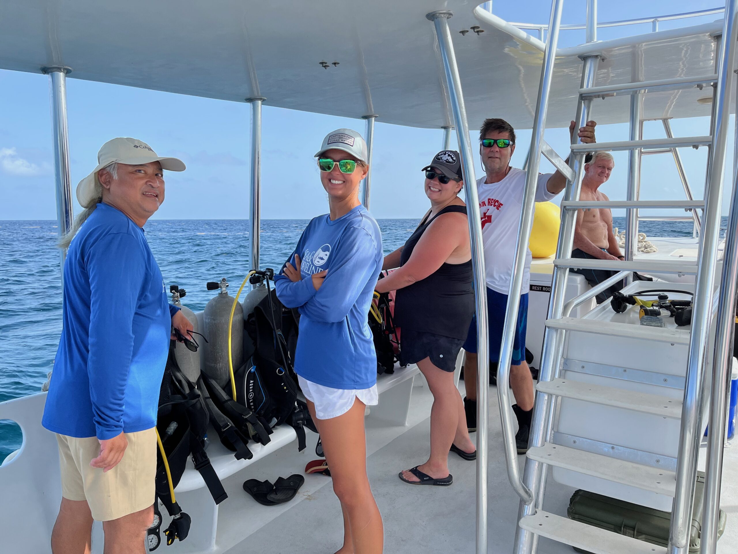
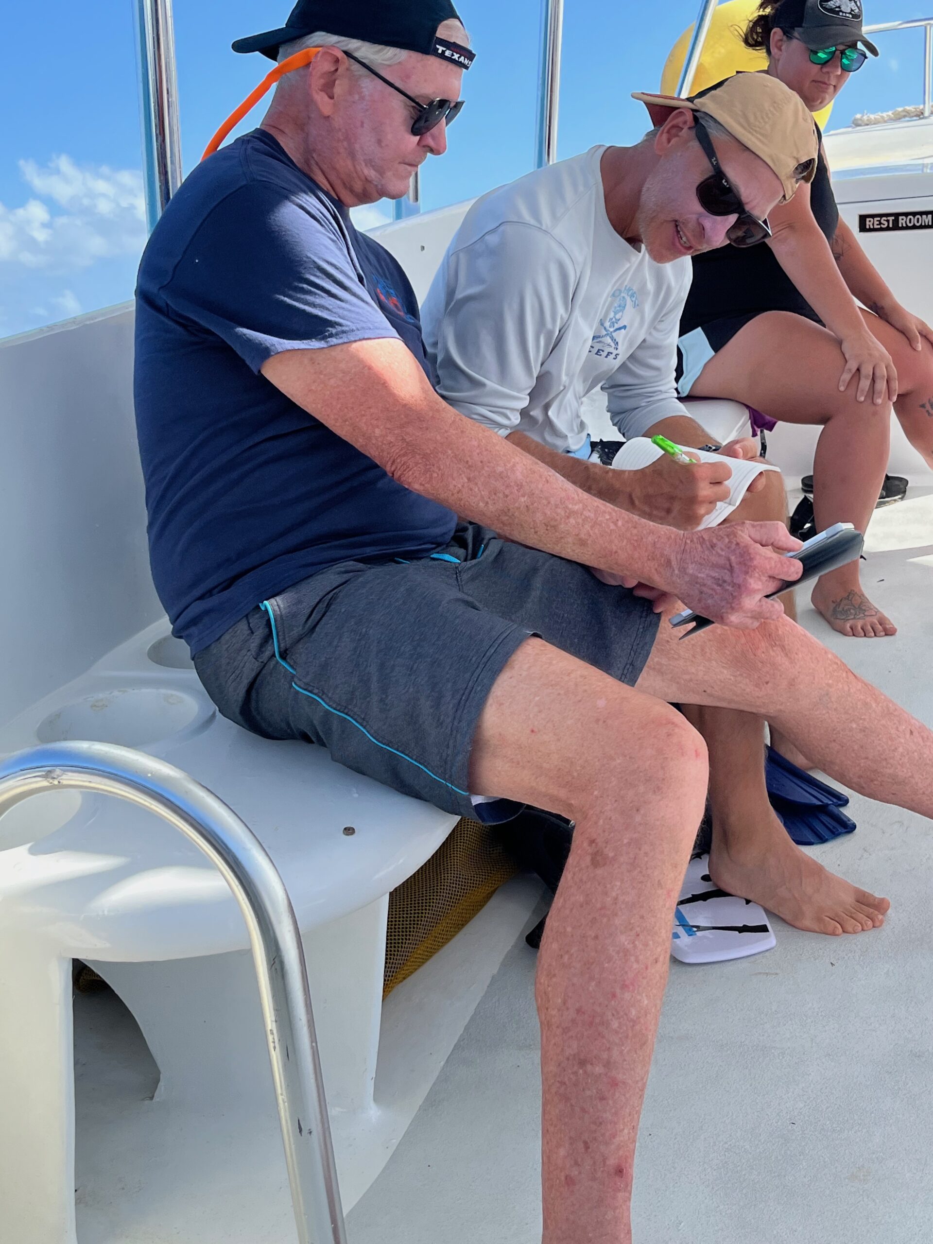
Pictures- Top to Bottom:
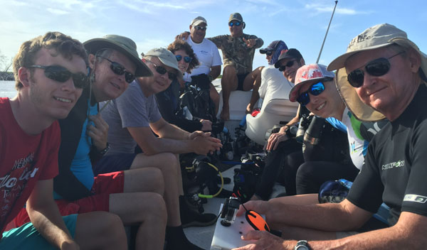
– Team Photo in front of Salt Cay Divers, Salt Cay, Turks and Caicos
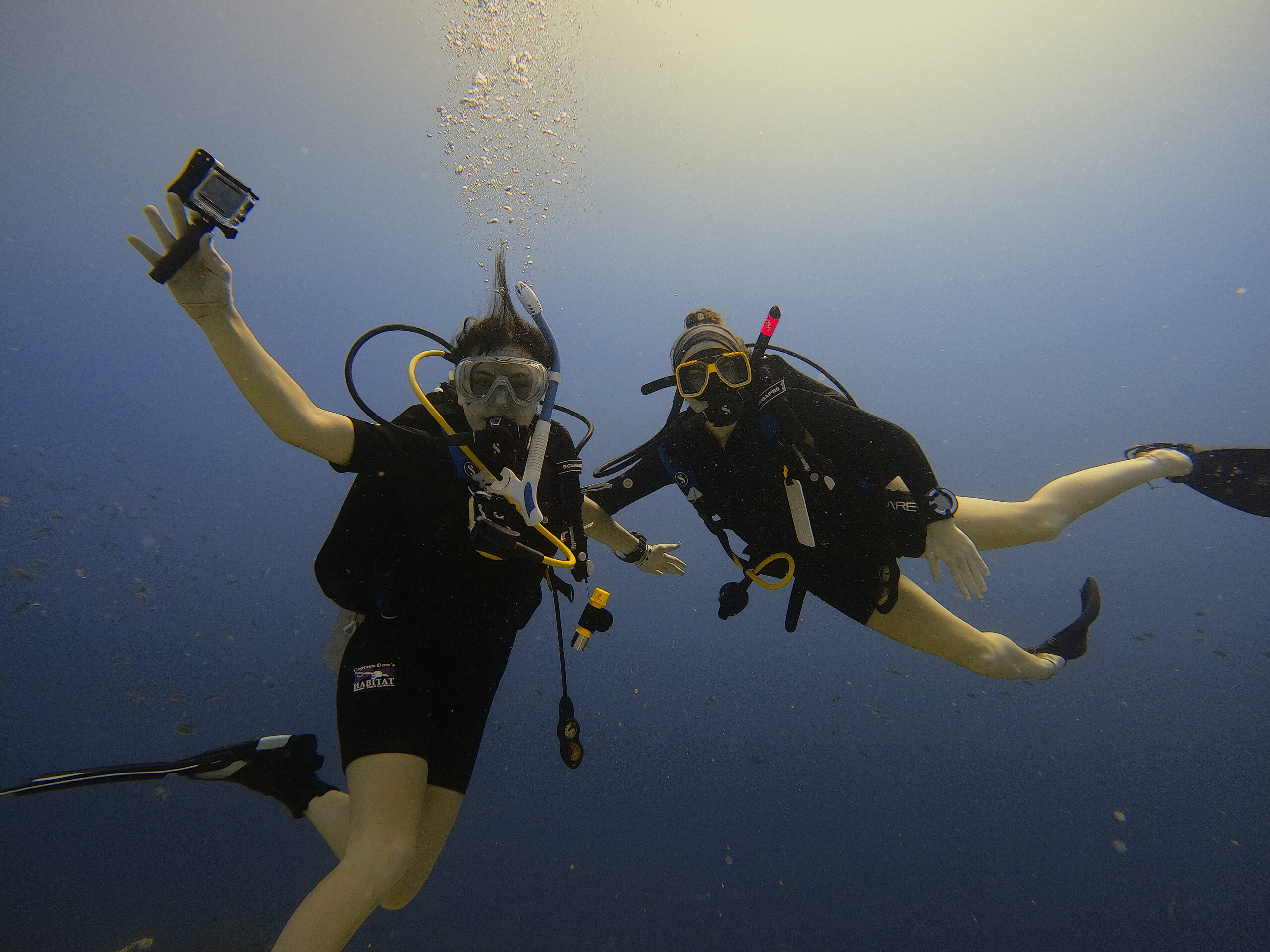
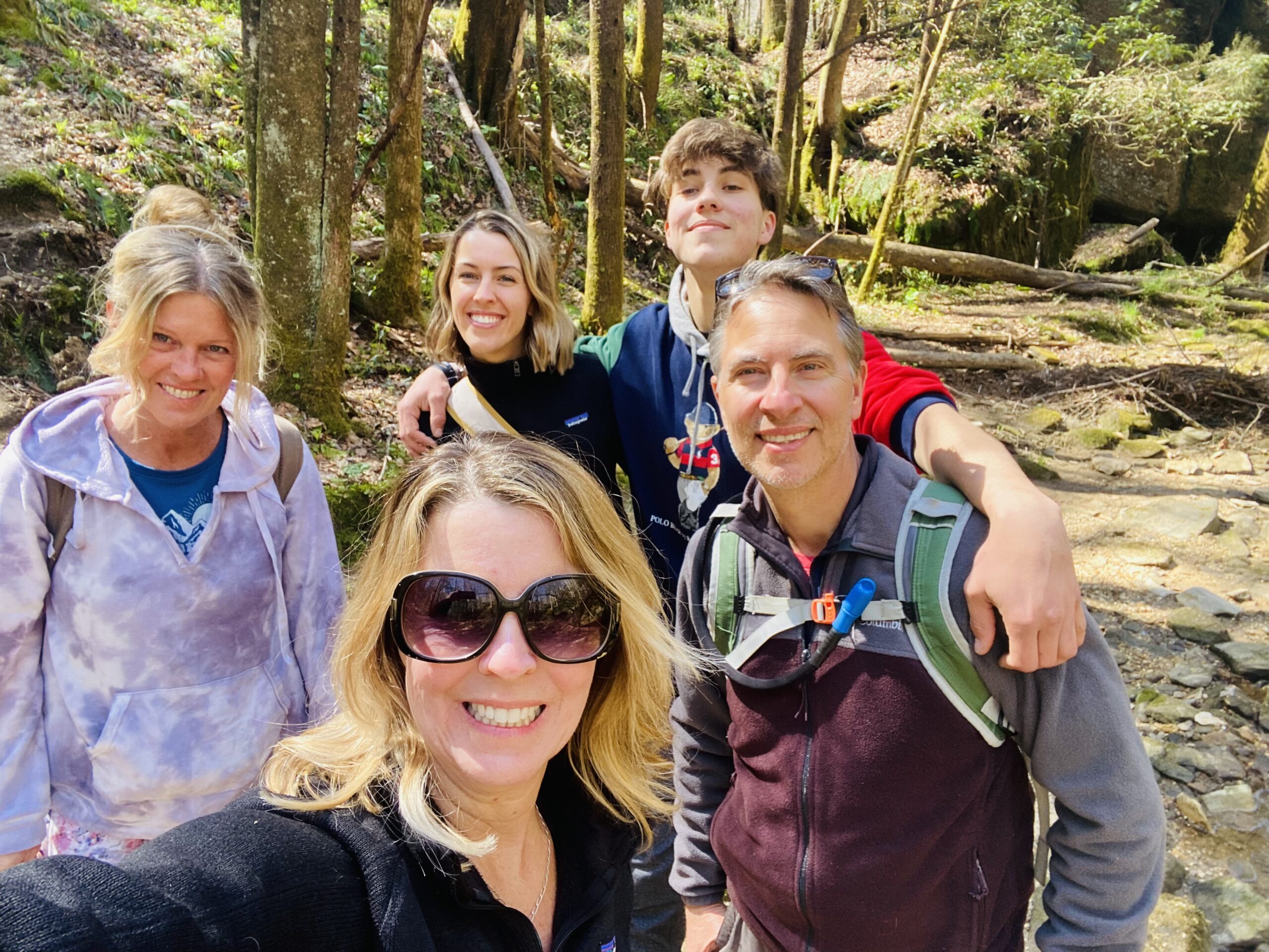
– Team Members John Than, Katie Kramer, Abby Keller, Kevin Keller and Greg Minnery
– Expedition Leader James Vogel and Greg Minnery recording GPS coordinates in Field Book
– Example of the Nature Conservancy Benthic map showing the reef substrate and GPS coordinates for which field validation was conducted
Cuba 2016
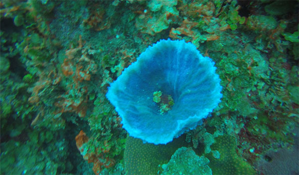
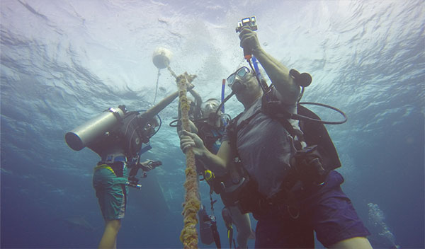
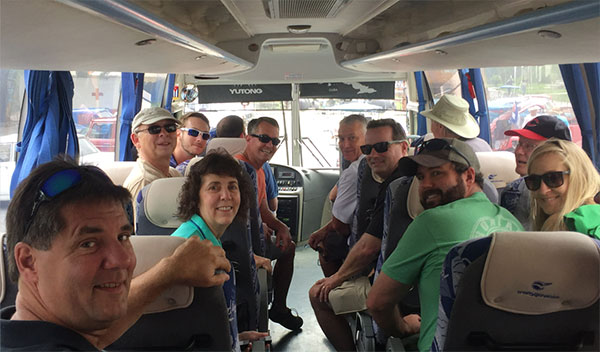
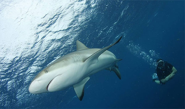
Fifty miles off the southern coast of Cuba lies the archipelago of Jardines de la Reina, known as the Gardens of the Queen, which was named by Christopher Columbus in 1492 in tribute to his monarch, Queen Isabella. In 1996, the Cuban government established the area as a marine reserve, with a limit of only 1,000 guests per year. This area contains one of the most pristine coral reefs in the Caribbean. It is also the largest Marine Protected Area in all of the Caribbean. In 2016, Reef Expeditions conducted multiple reef surveys to catalog its biodiversity while it is still considered to be in “Pristine” shape. The 17-member team conducted benthic surveys, fish population densities and coral cover at 15 different sites on the reef. The team also cataloged select species that indicate reef health, such as crinoids and butterfly fish. It is imperative that we reassess this site in future years to ensure an accurate data set over time as this precious ecosystem is affected by an increase in diver traffic and the effects of climate change.
Bonaire 2015
The island nation of Bonaire was once home to one of the highest bio-diversities of reef animals found in the Caribbean. The leeward side of Bonaire is protected from the high winds and turbulent seas that occur on the northeastern side. Both fish and invertebrate species flourished until a noticeable decline started occurring in the early 1990s.
